What is a Sudden Stratospheric Warming event, and why does it matter for winter weather?
Meteorologists are watching for a Sudden Stratospheric Warming event this winter that could disrupt the Polar Vortex and bring severe cold to parts of North America and Europe.
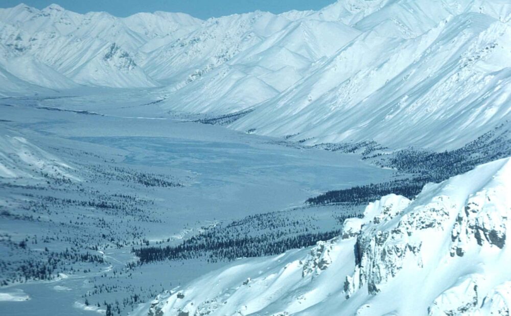
One of the most dramatic disruptions to winter weather patterns is known as a Sudden Stratospheric Warming, or SSW, event — and forecasters are watching for signs one could develop this winter as a Super El Niño builds in the Pacific.
During an SSW, temperatures high above the Arctic can rise rapidly over just a few days, weakening or even splitting the Polar Vortex, the massive area of cold, fast-spinning winds that normally keeps extremely cold Arctic air confined near the North Pole. Such events have historically been linked with outbreaks of severe winter weather across multiple regions.
According to a long-range analysis by Severe Weather Europe, the developing Super El Niño may create conditions favourable for a weakening Polar Vortex during January and February 2027, with forecast models showing stratospheric wind speeds dropping well below the long-term average during mid-winter — one of the primary indicators of Polar Vortex strength.
The analysis also highlights similarities between current model projections and atmospheric patterns observed during previous strong El Niño winters that experienced major Polar Vortex disturbances, though it stresses that predicting the exact timing and location of any resulting cold snap remains difficult even with modern seasonal climate models.
Leave a Reply